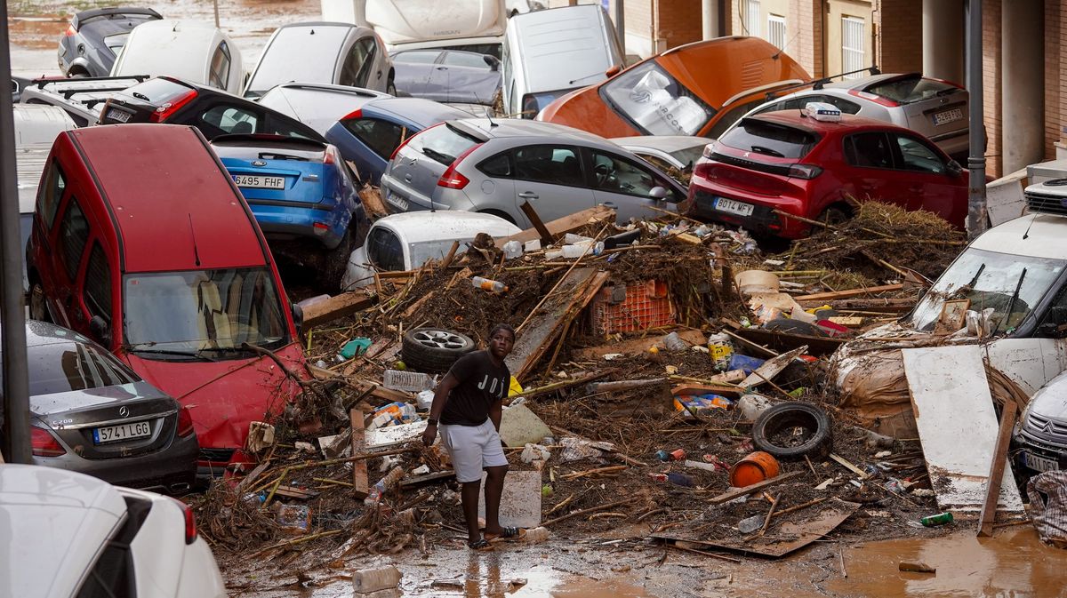
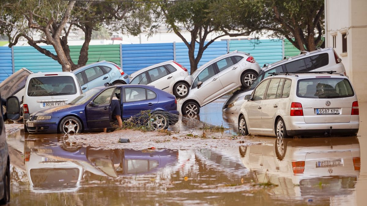
A freak weather phenomenon known as DANA has caused catastrophic flooding in Valencia, Spain this week. More than 155 people died and dozens remain missing in what meteorologists are calling one of the worst natural disasters in recent memory.
On Tuesday (October 29), some areas received the equivalent of a year’s rainfall in just a few hours, causing massive flooding that destroyed entire cities and left thousands stranded. In some areas, rainfall reached up to 20 inches of rain (500 liters per square meter).
The cause of this catastrophic weather is a phenomenon that forms in the Mediterranean called Depresión Aislada en Niveles Altos (DANA), a Spanish phrase that translates to isolated depression at high levels. It was the worst DANA recorded in the 21st century, comparable to the catastrophic one “Pantanada de Tous” in 1982according to the State Meteorological Agency of Spain (Aemet).
What is a DANA?
DANAs are intensified versions of what is known as a “cold plunge,” which occurs when a warm air mass collides with a cold stagnant air mass at an altitude of about 29,500 feet (9,000 meters).
In the upper atmosphere, there is a very strong current of wind that surrounds the Earth like a belt. Sometimes, this current begins to oscillate, appearing more like a snake than a belt. When this happens, the oscillation can “stall”, allowing the cold air mass to remain in one place. In this case, it happened in the southeast of Spain.
A DANA occurs when this cold air meets very warm air near the surface, especially over warm Mediterranean waters. This combination creates a significant temperature difference between the different layers of the atmosphere, which in turn causes warm air to easily rise and become saturated with water vapor.
If this temperature contrast is combined with moisture and energy from the Mediterranean, which is very warm after the summer months, the result is strong storms and torrential rains.
“The winds may not be as strong as those of a hurricane, but in terms of rainfall and intensity, they can even exceed them. These events can cause property damage and loss of life as significant as the average . storm” Jorge Olcinadirector of the Climatology Laboratory at the University of Alicante, told Live Science.

Iago Pérez, a geoscientist at the University of Oxford, described DANA as one of the most dangerous meteorological phenomena in Spain, noting that “they release large amounts of water in a very short time”.
DANAs only form over Spain, but similar weather patterns, called extratropical cyclones, form in the Atlantic off Uruguay and Argentina, the researchers said.
On October 29, DANA hovered over the same area for more than 12 hours, making it the most intense day of weather – which is expected to continue with less intensity until Sunday (November 3).
DANAs use warm water as “fuel”, meteorologist Mar Gómez said Live Science.
DANA encountered water temperatures around 72 degrees Fahrenheit (22 degrees Celsius) off the coast of Valencia, while the usual temperature for this time of year is around 70 F (21 C). This difference may seem small, but it is enough to supply the storm system with additional energy. This could “trigger a cascade of precipitation in a very short period of time,” Olcina said. “These rains can be characterized as monsoonal.”
What does climate change have to do with it?
Gómez and Olcina agree that this week’s DANA severity is directly related to climate change. Pérez, however, thinks that pinning the phenomenon on global warming requires deeper analysis.
of Mediterranean Sea it is one of the sea basins that has warmed the most in recent decades. It acts as a “conveyor belt for moisture and energy,” Olcina said. Since the 1980s, the Mediterranean’s average temperature has risen by 2.7 F (1.5 C)—almost double the increase in air temperature in the region over the same period. “Since 2020, summers in the Iberian Peninsula have seen record temperatures and this year, sea surface temperatures have exceeded 84.2 F. [29 C]- said Olcina.
This warming has changed the timing of DANAs, as The Mediterranean now begins to heat up in May and maintains that warmth until November. In comparison, during the 1980s and 1990s, this phenomenon generally occurred in September and October. Currently, it is estimated that 15% to 20% more DANAs are formed each year compared to six decades ago.
For researchers, this episode offers important lessons, starting with the need to improve early warning communication protocols.
“When there are casualties, it means that something has gone wrong. Communication and anticipation of these events must be increased,” said Gómez.
Climate change is likely to drive more frequent intense and extreme rainfall events. This underscores the urgent need to adapt prevention and protection systems and restructure vulnerable areas to reduce the risks associated with an increasingly extreme climate, Olcina said.
